Hiking Rattlesnake Mountain
Trail Name: Rattlesnake Mountain via Bri-Mar Trail
Location: Raymond, ME
Distance: 2.5 miles
Elevation gain: 623 ft
Difficulty: Moderate
Pets: Not Allowed
This is one of my favorite weeknight hikes in Southern Maine, for a couple reasons. First, it is within 45 minutes of home, making it convenient to get to. I know that for most people, 45 minutes away doesn’t sound convenient, but when you love to hike it’s worth the time spent driving. Second, this hike actually made me huff and puff AND sweat. Quite a lot. I know that doesn’t exactly sound like everyone’s cup of tea, but it’s been challenging for me to find hikes in Southern Maine that actually make me feel like I got a good workout in. This hike definitely checks that box, which is nice.
This hike is very easy to find. When driving North on route 302 in Raymond, you’ll want to turn right onto Webbs Mills Road (route 85) right after the Good Life Market. The parking lot is located seven miles down the road, on the left. The parking lot is quite small, it only fits about 5 or 6 cars. I got there around 5:30p.m. on a Wednesday and was lucky enough to find a spot. I’m not sure whether or not parking on the side of the road is permitted, or even a good idea, as there isn’t much space. Use your best judgement on that.
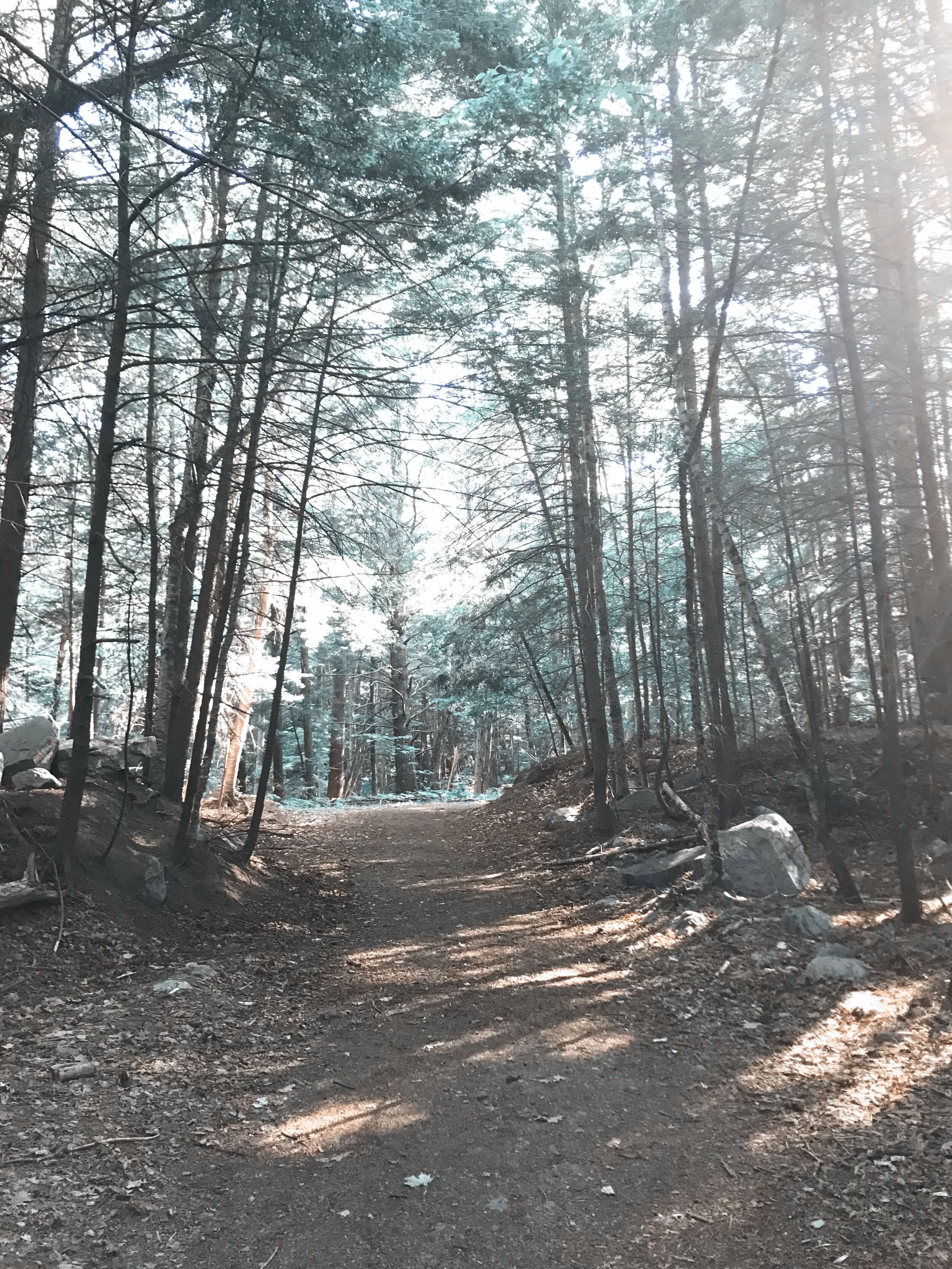
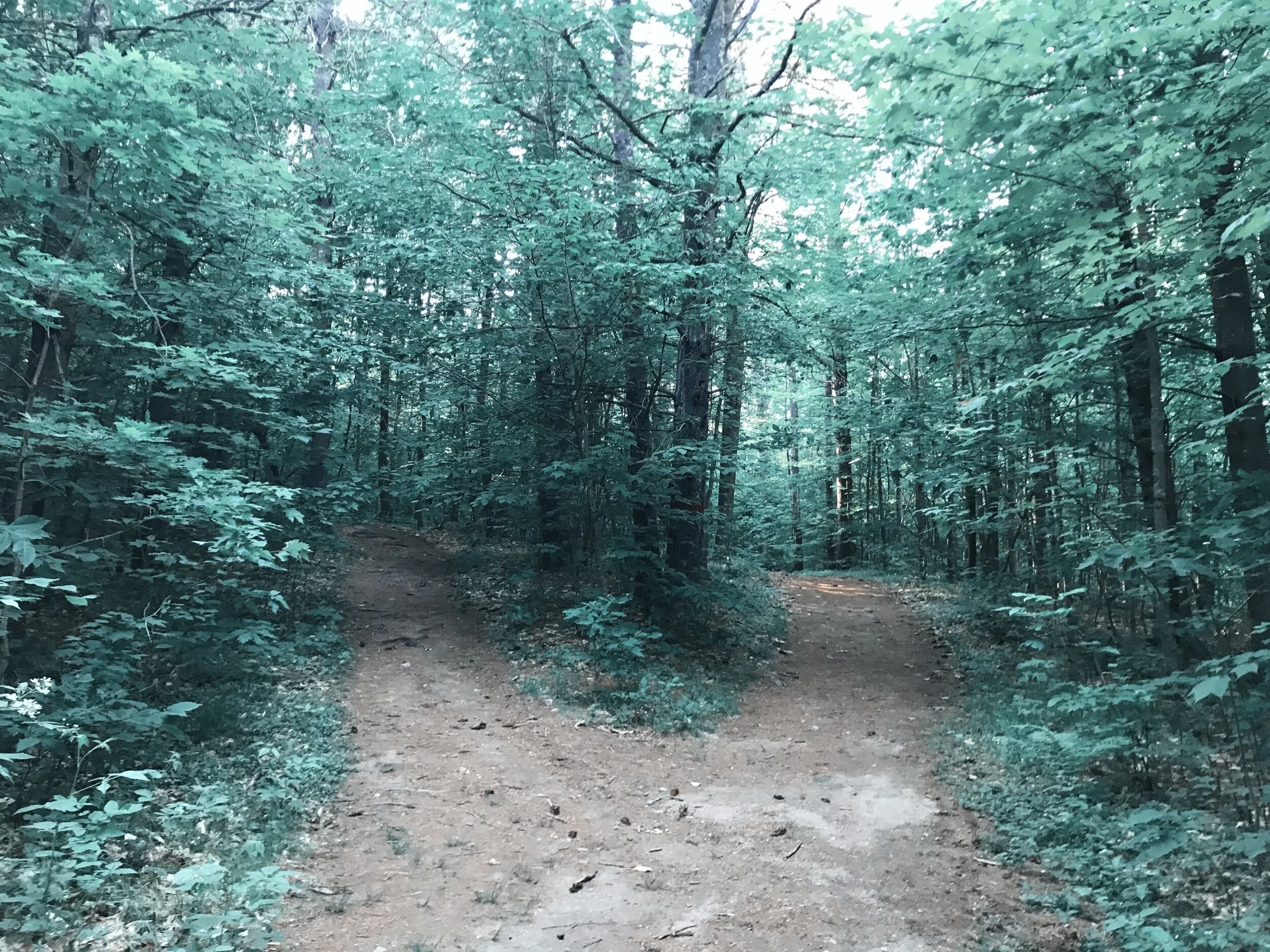
The trail begins in a grassy field and then moves into the woods, where it starts to incline. About 0.3 miles in, there’s a fork in the trail. It really doesn’t matter which way you choose, as they both meet right back up with the trail. After this fork, the trail gets gradually harder, climbing and then flattening out until you reach the first viewpoint. This viewpoint is about 0.7 miles in, and gives a little snapshot of the views that will be provided at the second viewpoint.
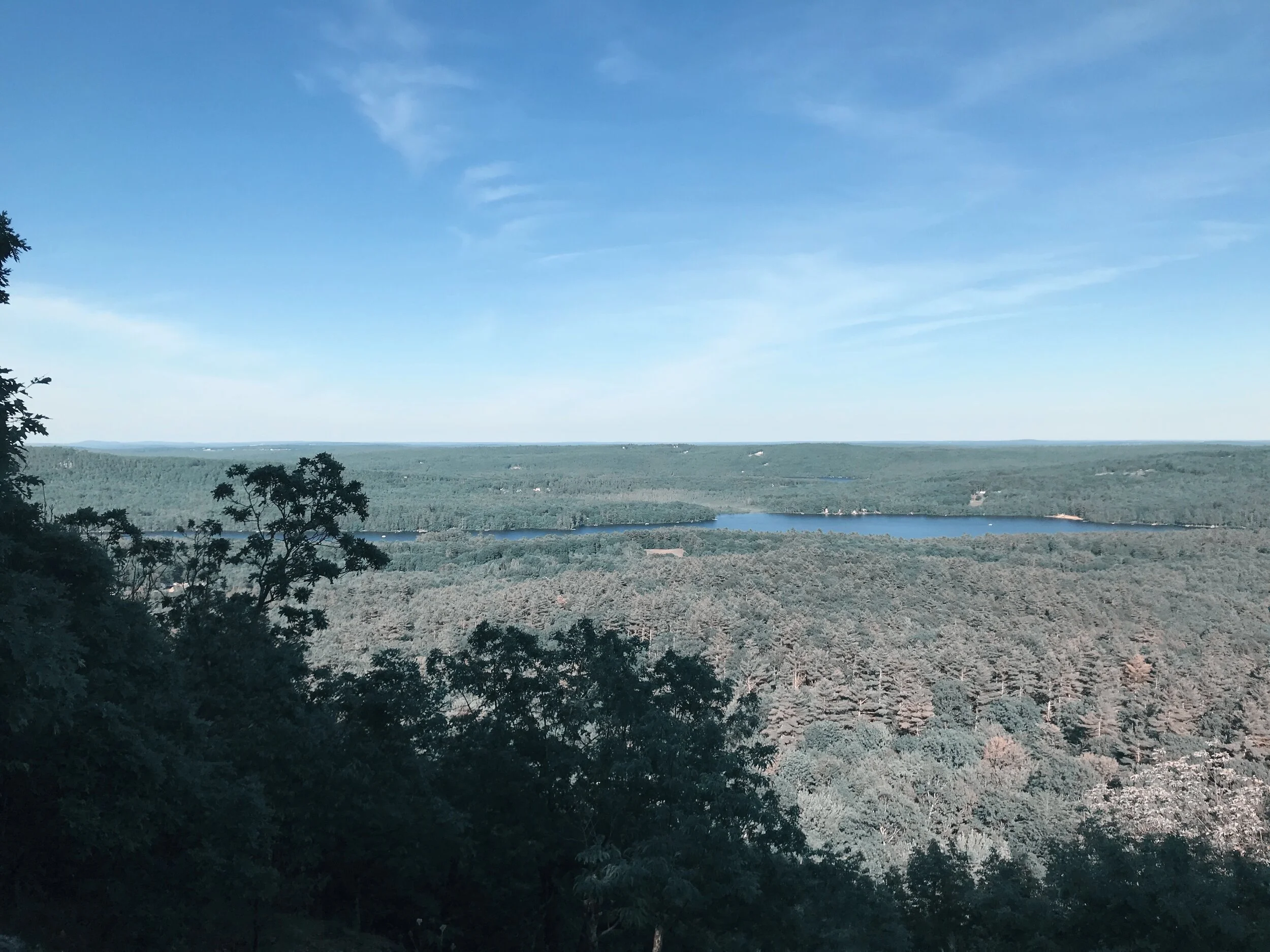
In between the first and second viewpoint, the trail stays relatively flat. Once at the second viewpoint, there are great views of Crescent Lake, Raymond Pond, as well as other surrounding lakes and mountains. This is a great spot to sit and take in the views, as there are no views after reaching this point.
The trail continues onward for about 0.4 miles, coming to what I think of as a “dead end”. At this dead end, there is a nice, large rock. That’s about it. It is possible that there was a view here at some point in time, but it has definitely overgrown since. I do have to admit that this hike was very anti-climatic for me, since there was no further views after the second viewpoint. But I definitely enjoyed the views that were provided.
This trail is an out and back hike, which makes it easy to navigate. That being said, there were a few random offshoots that led nowhere, which I found to be interesting. Usually, offshoots provide you with some kind of alternative view, but these didn’t. Very intriguing. Overall, I really enjoyed the challenge of this hike as compared to other mountains in Southern Maine. I will definitely be back another weeknight this summer! Happy hiking, friends!


