Hiking Bauneg Beg Middle Mountain Trail
Trail Name: Bauneg Beg Middle Mountain Trail
Location: North Berwick, ME
Distance: 2.4 miles
Elevation gain: 521 ft
Difficulty: Moderate
Bauneg Beg Middle Mountain Trail (wow, that’s a mouthful) is part of an 89-acre conservation area in North Berwick, Maine called Great Works Regional Land Trust. It is accessible year-round for hiking, cross-country skiing, and snowshoeing. Fun fact: Bauneg Beg Mountain actually has three peaks, the largest (Middle Peak) reaches 866 ft. Click here to view the trail map.
Driving to this trail was really fun, because I haven’t spent much time in this part of Maine. I really enjoyed taking in all of the views, especially on the road leading up to the parking lot. This road, I believe it’s called Fox Farm Hill, was an absolute dream. The picturesque farm houses with their landscaped grounds, huge barns, and mountain views were everything I have dreamed of in a house.
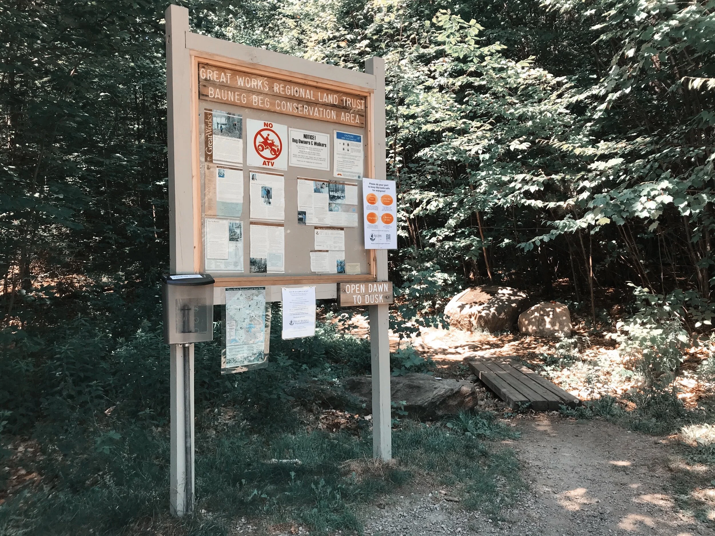
This trail has a large dirt parking lot that could probably fit anywhere from 10-15 cars. I arrived around 11:00 on a Friday morning, and there was only one other car in the parking lot. The signs at the start of the trail indicated that it’s open from dawn to dusk, does not allow ATV’s, and allows dogs on leash.
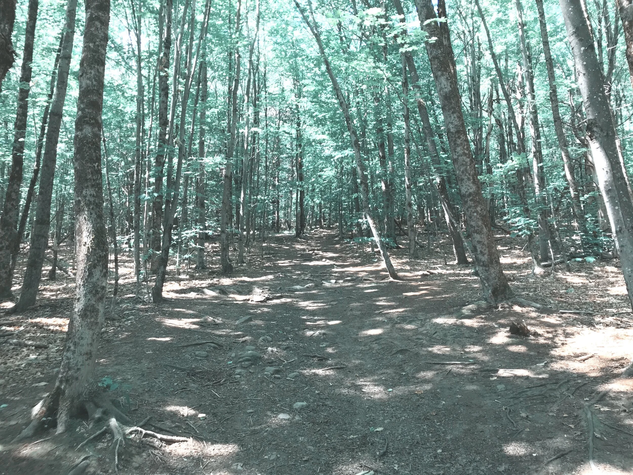
The trail starts with some wooden platforms and then changes over to a wide dirt path. About 0.3 miles in, there will be a trail on your right called the North Peak Loop. This is the first loop trail that you can take or continue straight. I decided to add this loop trail to my descent, and continued straight. If you do decide to take this trail, it will come out on Linny’s Way, which is part of another loop trail that loops around the summit of the mountain.
About 0.2 miles past that intersection, you will come to another fork in the road where you can either take Linny’s Way or Ginny’s Way. Solely due to the fact that I am a huge Harry Potter nerd, I chose Ginny’s Way. I discovered that Ginny’s Way (left) is a gradual incline to the summit. The summit provides views of Mount Hope, some of Sanford, and other nearby attractions. I was lucky enough to have the summit all to myself, which was pleasant. The only unfortunate thing was that it didn’t offer much shade, which was not ideal for the 80 degree weather I was hiking in.
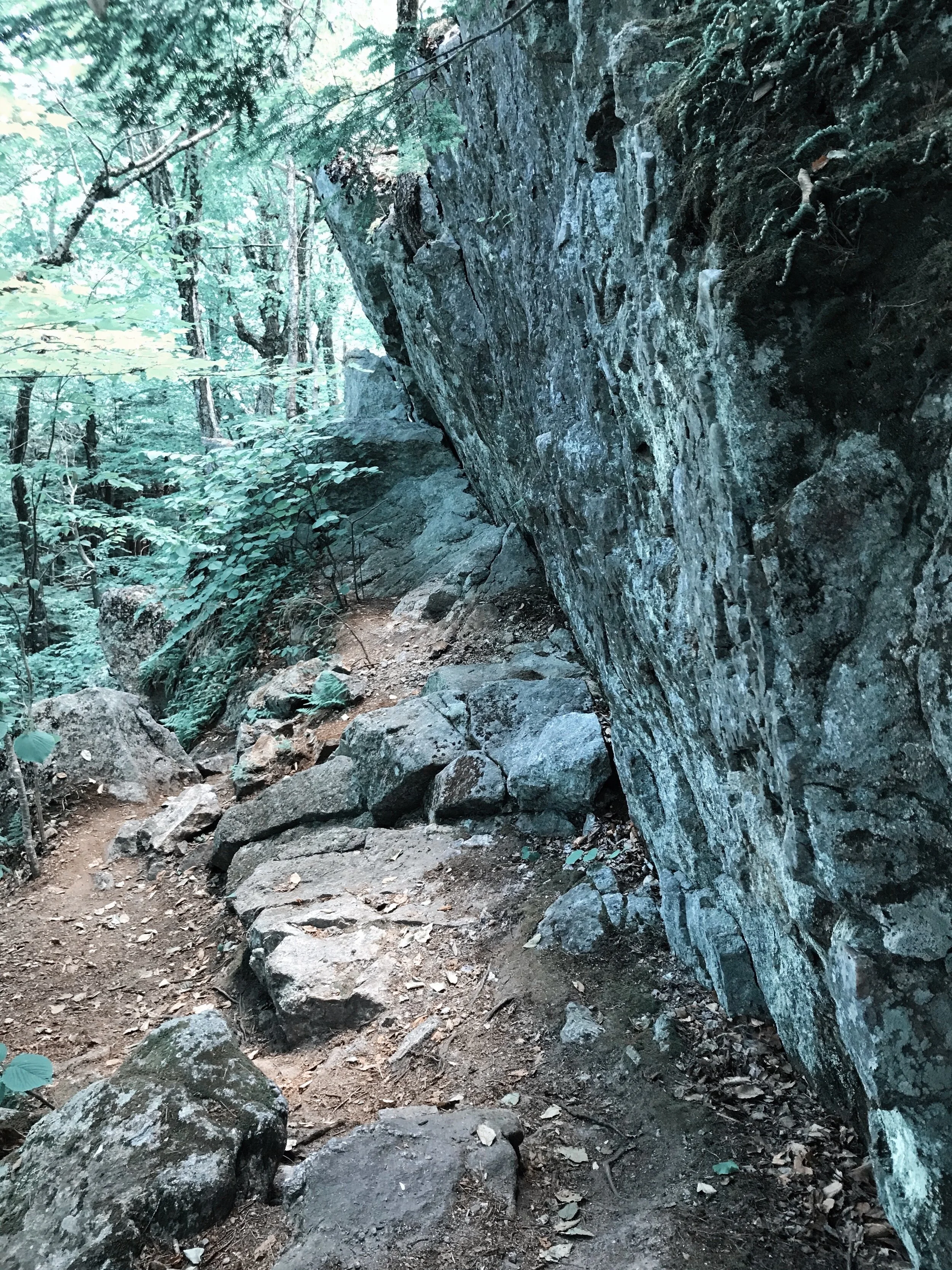
After enjoying the summit, I continued on the loop trail (Ginny’s Way) that I was on before, which brought me to Linny’s Way. This side of the trail is a bit more challenging and has some pretty huge boulders. Before this trail meets back up with Ginny’s Way, it intersects with the North Peak Loop trail that I mentioned earlier. I decided to take the North Peak Loop trail down, to add some extra distance. This trail is about 0.7 miles long and eventually meets back up with the Bauneg Beg Trail, which will bring you back to the parking lot.
Overall, I really enjoyed this hike. It’s not as trafficked as some of the other Southern Maine hikes, which is a bonus. It was also well-maintained, quiet, and has plenty of parking. Next time, i’ll be sure to bring my pup with me! Happy hiking, friends!


