
Shaw Cherry Hill Farm

Trail Name: Shaw Cherry Hill Farm
Location: Gorham, ME
Distance: 2.7 miles
Elevation gain: 95 ft
Difficulty: Easy
Dogs: Allowed
These trails are particularly special to me, because they were part of my weekly routine when we lived in Westbrook. Sometimes, my dog Boone and I would visit multiple times a week if I need to escape the hustle and bustle of the city. I was drawn to Cherry Hill for it’s walking trails (obviously) but what I found while exploring keeps me coming back for more. These trails feature wide open fields, nicely maintained walking paths, beautiful wildlife, and most importantly: peace and quiet.

Cherry Hill trails were built by Shaw Brothers Family Foundation, which is owned by Shaw Brothers Construction. After a large amount of labor, they were opened to the public in September of 2019 for walking, bicycle riding, snowmobiling, snowshoeing, sledding, and cross-country skiing. The trails are open from sunrise to sunset, 365 days a year. Pets are allowed, on-leash.
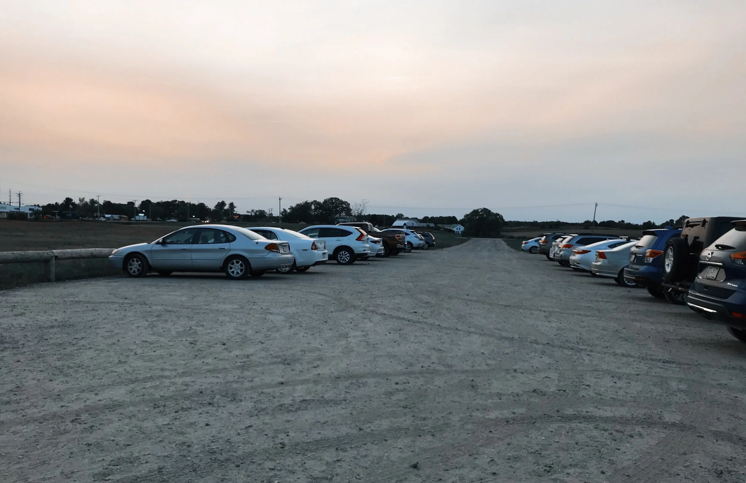
The very large dirt parking lot is located right off Main Street in Gorham, Maine. It’s adjacent to Sebago Brewing Company, which is both amazing and awful. Amazingly, it makes the air smell like pizza, bacon, or burgers (depending on the night). It’s awful because it makes me want to spend all of my pay check on take out food from Sebago Brewing Company. Ugh. I live such a hard life.
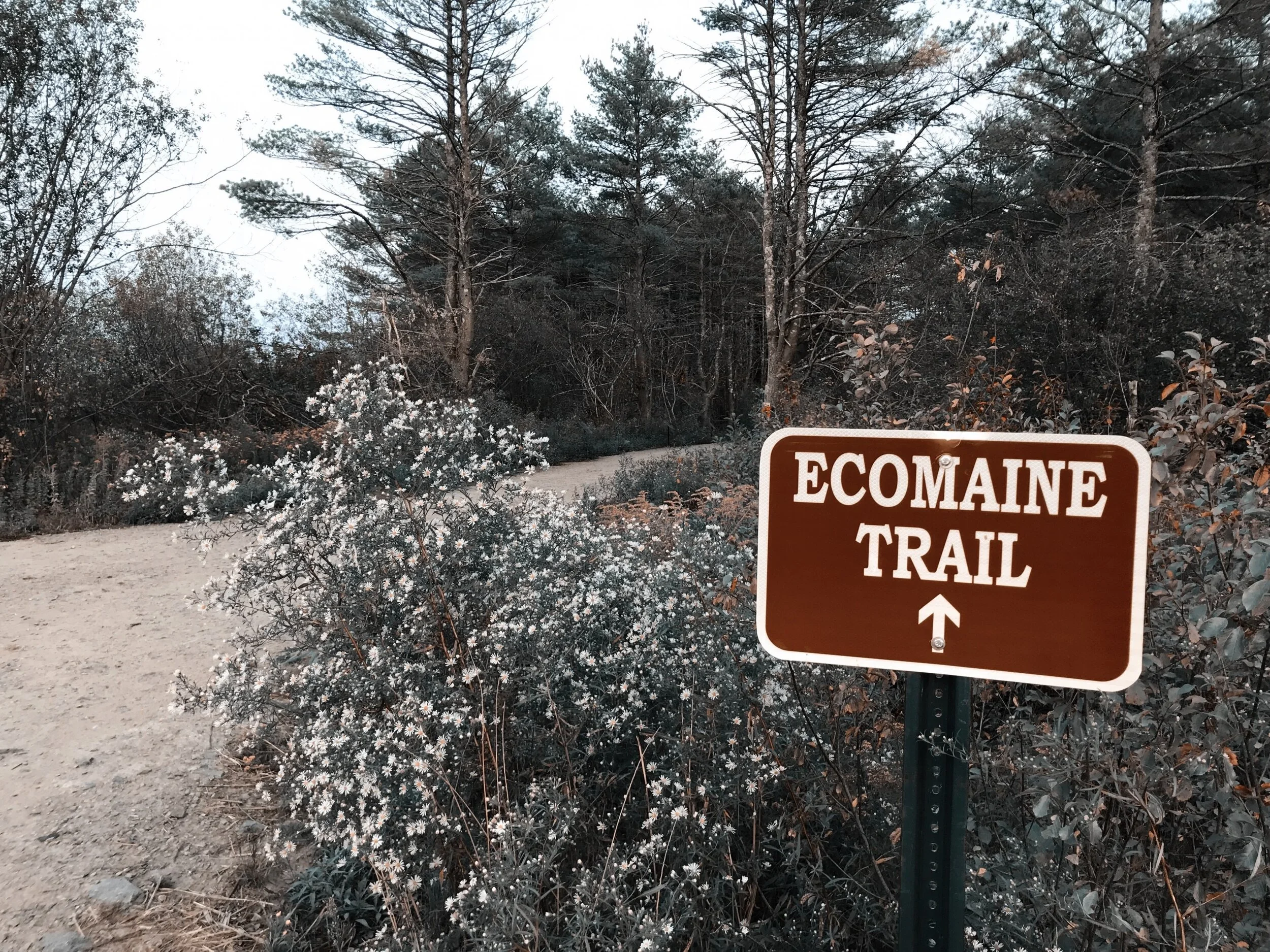
After parking the car, there will be a small dirt path that brings you to the trail head. Shortly after the sign, there will be a fork in the road where you can either continue straight on the Burleigh Lovett Trail or turn right onto the Eco Maine Trail. The Eco Maine Trail is a gorgeous, woodsy trail that meets back up with the Burleigh Lovett Trail in about 0.4 miles. The Burleigh Lovett Trail moves through the wide open fields and eventually makes it’s way into the woods.
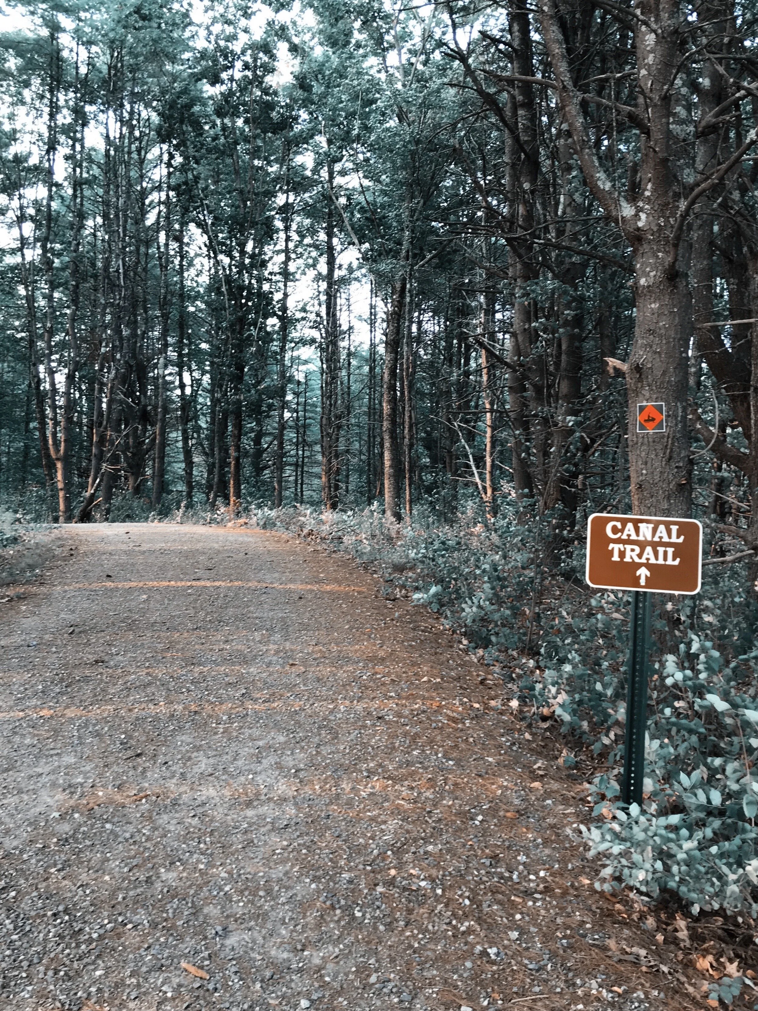
Once the Eco Maine Trail meets back up with the Burleigh Lovett Trail, the trail will start to fluctuate back and forth between flat and rolling hills. Then, about 0.2 miles later, there will be a somewhat steep hill that marks the beginning of the Canal Trail. At the top of this hill, either continue straight or take the Cherry Hill Trail on the left. I like to continue straight and complete the Canal Trail. This trail goes down a hill or two and then becomes flat. About halfway through the Canal Trail, it will meet up with the other end of the Cherry Hill Trail. Taking this trail will cut the loop in half by meeting back up with the Burleigh Lovett Trail, which leads back to the parking lot.

Instead, I like to continue straight on the Canal Trail and take the next left towards Mosher Brook Trail. This is a beautiful loop trail that features a few relatively steep hills and a couple of really picture-perfect bridges! It moves through the woods and then back out into the open field. I have even seen a few deer while walking on this trail. Ohhh. Ahhh.
After walking through the field on the Mosher Brook Trail, I take the Cherry Hill Trail back to the Burleigh Lovett Trail, which goes all the way back to the parking lot.

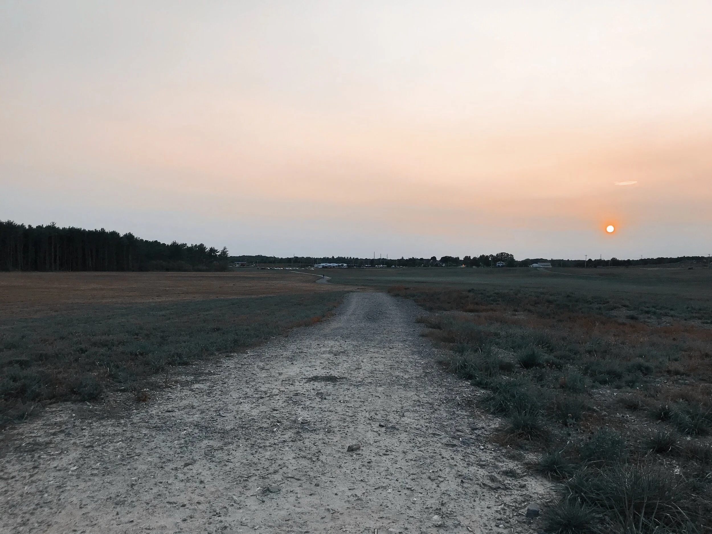
Feel free to pick and choose which trails you want to take along the way, as they all loop back to one another, making it really difficult to get lost. Whichever trail you pick, you can’t lose. They’re all wide, well-maintained, quiet, and overflowing with gorgeous wildflowers! I love to get to the trails about 30-45 minutes before sunset, so I can watch the sunset over the hills while i’m walking through the field. It’s picture-perfect.
Happy hiking, friends!